The Vanguard Way
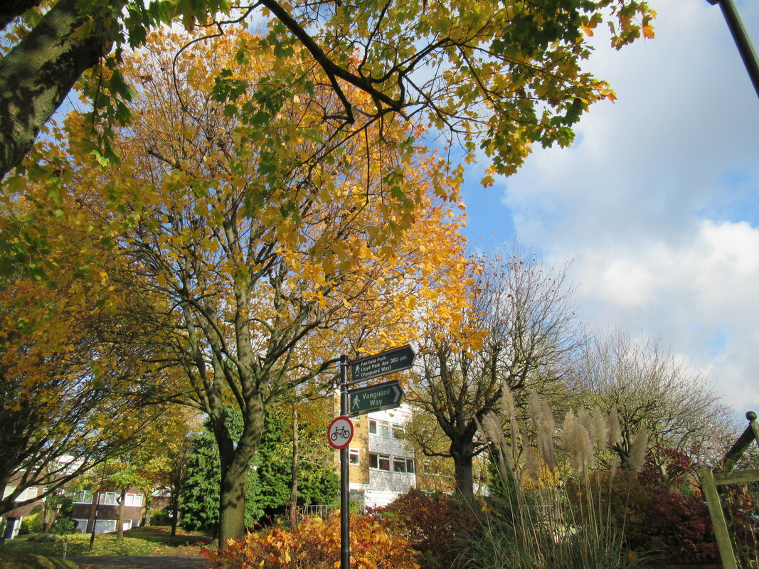
Leaving Croydon (Section 1)
|
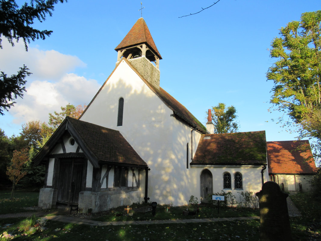
Church of St Mary the Virgin, Farleigh Court (Section 1)
|
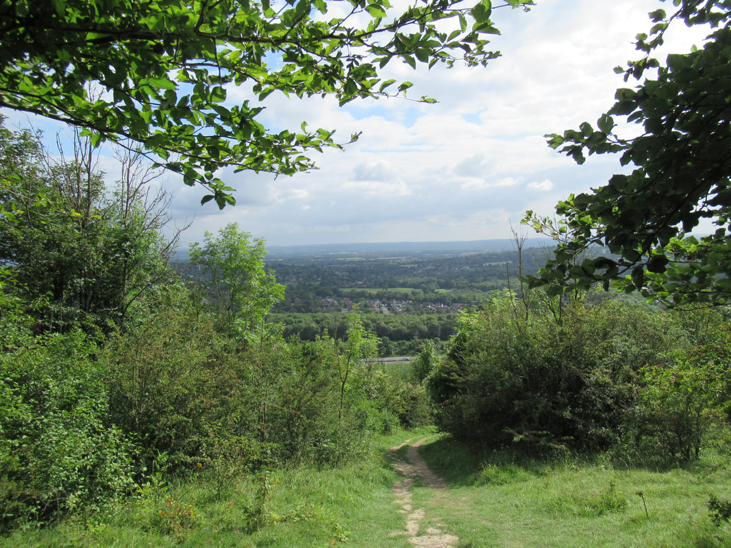
Oxted Down (Section 2)
|
The Vanguard Way is a 66 mile long walking route linking the London suburbs to the South Coast at Newhaven. The route was created by members of the Vanguards Rambling Club, using existing rights of way. The trail links many points of interest and crosses two Areas of Outstanding Natural Beauty (Surrey Hills and the High Weald) and the South Downs National Park. Some great viewpoints are promised along the route.
Section 1: East Croydon to Warlingham
Section 2: Woldingham to Limpsfield Chart
Section 3: Limpsfield Chart to Edenbridge
Section 2: Woldingham to Limpsfield Chart
Section 3: Limpsfield Chart to Edenbridge
Maps/Guidebooks
There is a very impressive website (www.vanguardway.org.uk/) containing Colin Saunders' detailed route descriptions for each section, which can be printed before walking. The website also contains comprehensive information on public transport and accommodation options.
Maps:
Ordnance Survey Map Explorer 161 (London South)
Ordnance Survey Map Explorer 146 (Dorking, Box Hill and Reigate)
Ordnance Survey Map Explorer 147 (Sevenoaks & Tonbridge)
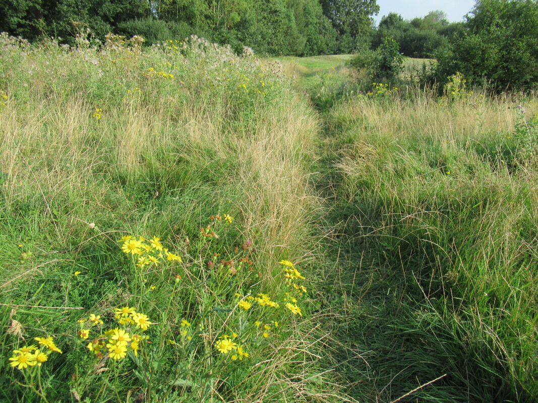
In the North Downs (Section 2)
|
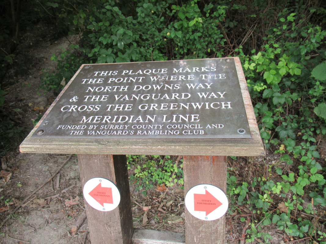
Crossing the Greenwich Meridian Line (Section 2)
|
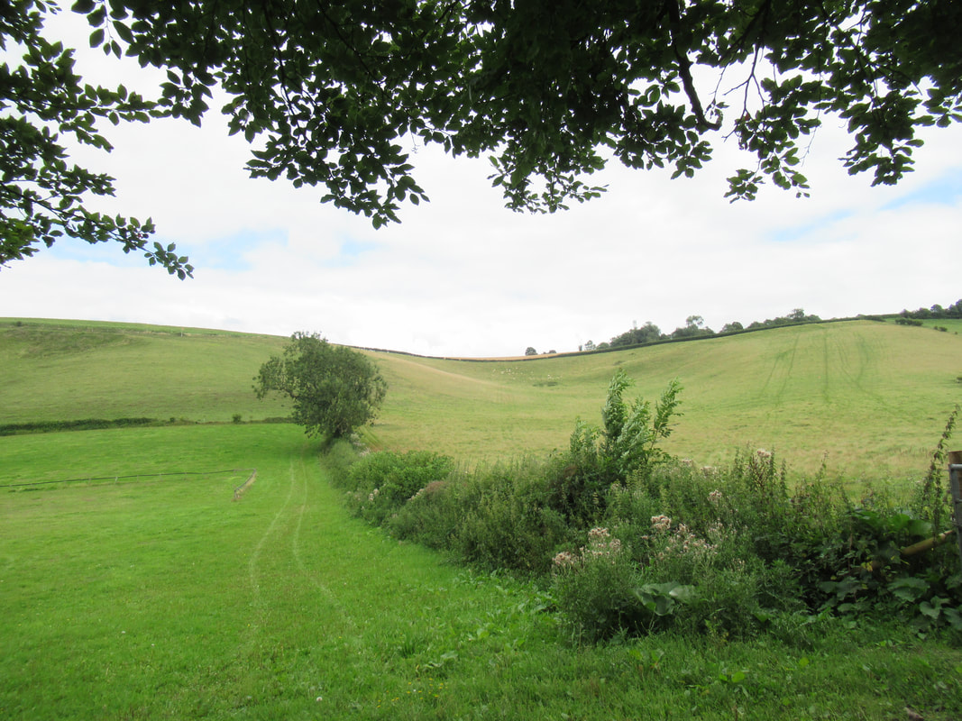
On way to Edenbridge (Section 3)
|